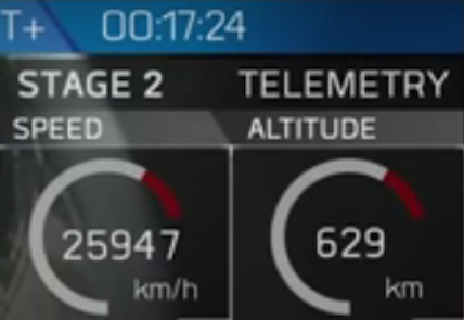
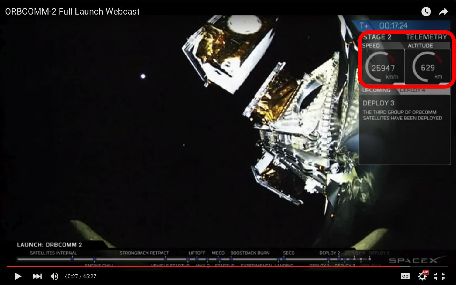
As a follow-up question to this answer by @TildalWave, exactly what frame is used to calculate the "speed" in the inset display of speed and altitude in the SpaceX broadcast of the Falcon 9 launch and Orbcomm-2 deployment. Since it starts at zero before launch, is it the ground speed of the orbit projected on the Earth's surface, or something else?
I'm trying a simple physics exercise to convert speed to velocity under some assumptions (fixed inclination, radial velocity from $\Delta altitude/\Delta t$) and then integrate it to try to reconstruct the orbit for fun. I know there are other ways, but this is what I want to try.
For example, as a rough test of the numbers (in Python):
import math

pi     = math.pi
two_pi = 2. * pi

r_earth  = 6371. # km from google
altitude = 629.  # km from screen shot
r_orbit  = r_earth + altitude

speed_screen = 25947.  # km/hr from screen shot

print 60. * two_pi * r_orbit / speed_screen, "minutes"

r_florida = r_earth * math.cos((pi/180.)*23.4)
speed_florida = two_pi * r_florida / 24.

print speed_florida, "kph"

print 60. * two_pi * r_orbit / (speed_screen + speed_florida), "minutes"
gives:
101.704930397 minutes
1530.74487421 kph
96.0390978625 minutes
Adding the "speed" from the screen shot to the "speed" of Florida (to get a speed closer to something in an inertial frame) gives 96 minutes - close to the 97.4 minute period of the Orbcomm-2 satellites currently. You can use this link and click on any of the Norad IDs between 41179U through 41189U.
This is just very rough back of the envelope (for example, inclination is 47 degrees), but it suggests that the speed is in the rotating frame of the Earth. Imagine a giant x, y, z axes draw from the Earth and rotating with it.
Is this actually what it means?


