A Russian site called Galspace provides some good information on this. You may have to ask Google to translate the page though.
The translation says...
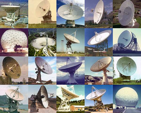
The output power of the transmitter is only 4.5 W, radio signals were transmitted at a wavelength of about 18 cm. The fact is that it is at this wavelength that many large radio telescopes, combined into an intercontinental interferometer system with an ultra-long base, operate. This is the wavelength of maser emission from interstellar hydroxyl (OH) molecules that form compact radio sources associated with regions of active star formation. Intercontinental interferometers measure the position and brightness distribution in such sources with an angular resolution of up to 0.001" (thousands of times more accurate than ground-based optical telescopes). At a distance of 1 AU this corresponds to a linear resolution of about 1 km. These are the intercontinental interferometric systems that were used to receive signals from balloon probes. Such systems made it possible to determine with high accuracy the trajectory of balloons in the atmosphere of Venus. Data obtained from Doppler frequency shifts of the signal, which gave the speed of movement of the balloons. According to them, the Vega-1 balloon passed along a path of length 11 500 km, and Vega-2 - about 11,000 km. Both of them worked for 46 hours, this time was limited by the capacity of the electric batteries.

To receive signals from balloons, two interferometric networks were organized - Soviet and international (6 and 12 radio telescopes, respectively). The scientific director of the entire balloon complex was Academician R. Z. Sagdeev, and individual balloon experiments were headed by V. M. Linkin, V. V. Kerzhanovich, J. Blamont (France). The French Space Agency coordinated the international interferometric network. Despite the fact that the American government did not officially cooperate with the USSR in space research, American scientists showed great interest in the Vega project and in the balloon experiment in particular. They participated in the reception of signals (within an international network) and as part of a French scientific group (so to speak, “under the French roof”) in the development of a meteorological complex on a gondola.
While I do not have direct knowledge of how the position was determined to within 1 km accuracy at the time, I did develop a very similar technology at a startup that I worked at about 5 years ago.
The technique is a bit like GPS in reverse - many receivers receive a beacon signal from a single transmitter. The beacon signal is coded so that during demodulation it is possible for the receivers to determine the beacon's arrival time at each receiver with sub-wavelength accuracy. That is to say, if the wavelength of the modulated signal were 1 m, then the time accuracy can be better than the time it takes for light to travel 1 m.
The receivers must all timestamp the received beacons as they arrive using an accurate common clock. Then these timestamps are then sent to a central location for analysis.
The location of the transmitter is determined by true-range multilateration.
While there are probably more sophisticated analytical techniques than what I'm about to describe, conceptually the way this works is that you start by estimating a rough location for the transmitter and then draw rays in 3D between your estimated transmitter location and your precisely known receiver locations. Then you use the timestamps to compute points along those rays that will indicate where the beacon was in space at some specific and common point in time, just before the beacon reached Earth. Now you have a number of points in space equal to the number of receiver stations that were on the right side of the Earth to receive the beacon.
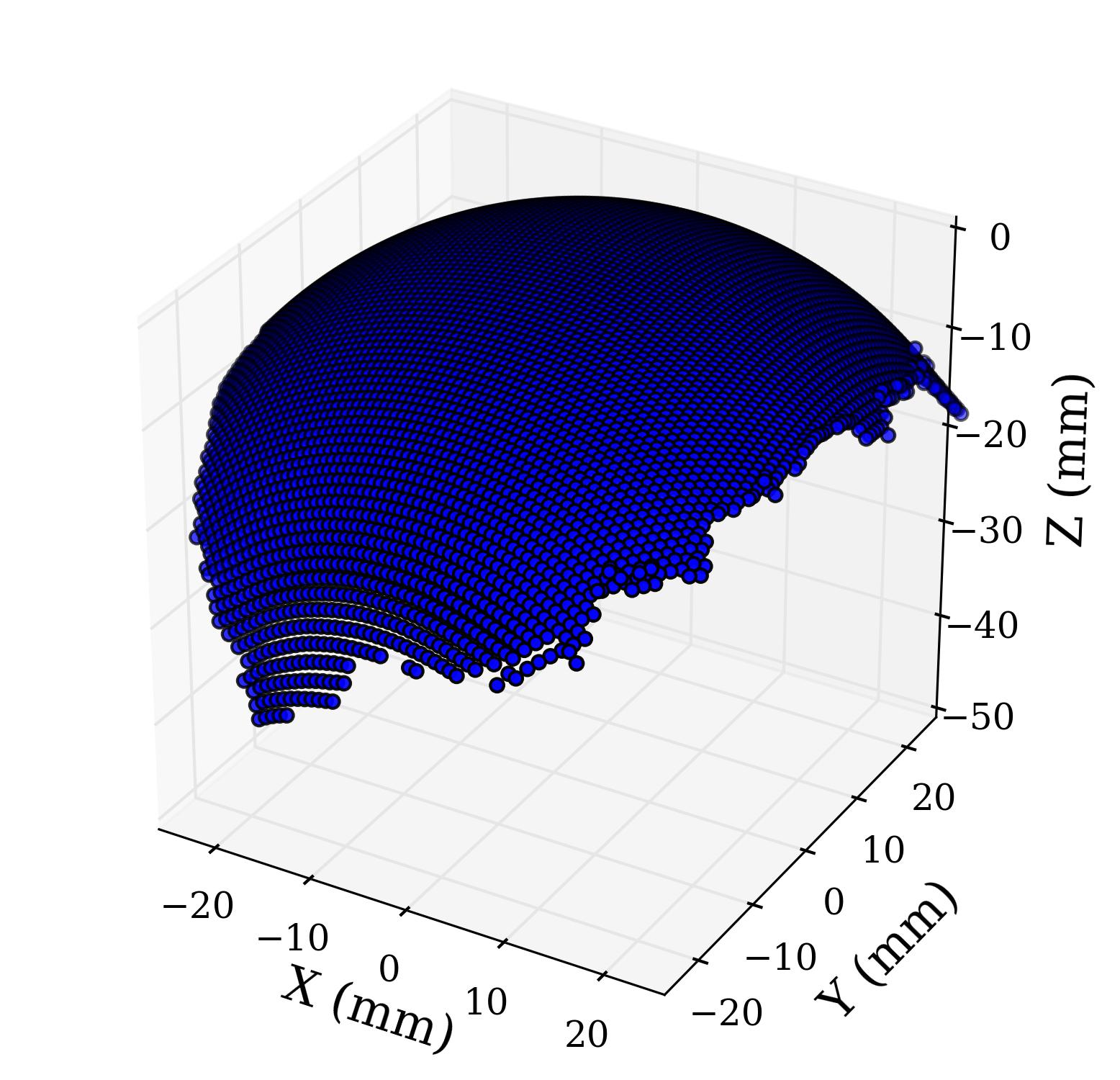
Next, you fit a sphere to those points. There are closed-form analytical methods that you can use for this, such as the least-squares sphere fit method. The fit will give you the center of the sphere. If the receivers are located far enough apart, and if the timestamps are accurate enough, then the center of this sphere will be a more accurate estimate of the transmitter's location than your original rough estimate. You can then iterate a few times to zero-in on the exact location of the transmitter.

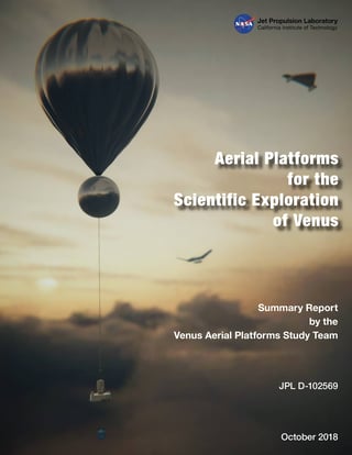
According to the report linked in the question...
Localization of the platform when it is on the Earth-facing side of Venus should be feasible to better than 100 m, but because of radio
link atmospheric losses, this may be only practical for 30% of the time.
Update
A 1985 press release from NASA (keep in mind that this article was released during the cold war; therefore, it likely emphasizes the US's role in the mission) indicates that the mission used an
international tracking network organized by the French space agency CNES
which included
the giant 64-meter antenna of NASA's Deep Space Network (DSN) located at Goldstone, California
The release also says
The balloons will be tracked by two networks: the international one in addition to Soviet network.
To track the balloons' movements, and thus measure wind velocity, transmitters on the balloons will continually send signals to Earth during the two-day lifetime of each balloon. The signals will be received by three globally placed hyper- sensitive 64-meter diameter dish antennas of NASA's DSN, which are part of an international network of radio astronomy antennas organized by the Centre National d'Etudes Spatiales (CNFS), the French space agency. Using the signals from the combined array of at least ten antennas worldwide in addition to data from the Soviet network, scientists can calculate in detail the balloons' locations and motions, using radio astronomy technique known as Very Long Baseline Interferometry (VLBI). This technique can measure balloon velocity, and hence Venus wind velocity, with precision of approximately two miles per hour at distance of 108 million km (67 million miles) from Earth.
It's possible that during the actual mission, technology maturity was insufficient to achieve the absolute position accuracy of 100 m mentioned earlier.
The Wikipedia page on VLBI says
In VLBI, the digitized antenna data are usually recorded at each of the telescopes (in the past this was done on large magnetic tapes, but nowadays it is usually done on large arrays of computer disk drives).
The antenna signal is sampled with an extremely precise and stable atomic clock
The recorded media are then transported to a central location.
At the location of the correlator, the data is played back. The timing of the playback is adjusted according to the atomic clock signals, and the estimated times of arrival of the radio signal at each of the telescopes.
Each antenna will be a different distance from the radio source, and ... the delays incurred by the extra distance to one antenna must be added artificially to the signals received at each of the other antennas. The approximate delay required can be calculated from the geometry of the problem.
All of these are very similar to the method that I described. However, the VLBI description does not seem to cover the topic of determining absolute position - only velocity. The Wiki page also lists
The tracking of the Huygens probe as it passed through Titan's atmosphere, allowing wind velocity measurements.
as an application, suggesting that the velocity measurement technique can be very precise over very long distances.
Between the Russian reference and the NASA reference, it appears that absolution position accuracy tracking for Venus has improved from around 1 km in 1985 to around 100 m in 2018.


