My question is: Of which (radio) spectrum range can a CubeSat make a map (of human-made radiation from Earth) from the LEO orbit?
Well the first consideration is the ionosphere which becomes opaque and reflective somewhere below some frequency that varies between (roughly) 20 and 60 MHz depending on local time of day and the Sun's mood. Short wave radio listeners and Ham radio operators take advantage of this "shiny" plasma to hear distant radio signals that would not otherwise reach around the curving Earth.
Above this, I don't see why "Potentially, any of them." Isn't the short answer.
What are some considerations when choosing a band?
As you mention in your question, SMOG-1 (MO 110, Magyar-OSCAR 110)2021-022AJ did some mapping of digital TV transmissions. From https://gnd.bme.hu/smog/Publications I found:
which are both undated but seem to be about the development and testing, including at least one high altitude ballon run (hmax ~ 34 km)
We can divide up the electromagnetic "footprint" of a city into two categories;
- Fixed, high power broadcast stations (e.g. Television, FM radio, cellular towers, airport, civilian meteorological and military radar)
- "Fluid" and almost innumerable small mobile devices and localized stations (cell phones, home and institutional WiFi routers, bluetooth gizmos)
In the (very) far field of Earth orbit by a simple receiver, these will be received as an incoherent sum of white noise, quite a lot like the 300+ million of streetlights that make up the "Black Marble" images!
Imagine flying over this in LEO with a simple, bare, downwards-pointing photodiode, connected to perhaps a 100/120 Hz bandpass filter (2x mains frequency modulation from sodium and mercury discharge lights) or an optical filter for sodium, mercury and that blue, circa 400 nm component of white light LEDs to pick up "streetlight radiation".
It's a very nice analogy to a simple omnidirectional antenna picking up radio emanations from those same population centers.
For both light and radio, the radiation is first broadcast in the direction where it's most useful; for streetlights that would be downward, for digital TV, FM radio, cell towers and radars that would be sideways. But there is going to be a lot of diffusely scattered radiation.

Source: Downsampled from NASA Black Marble Product (Zhuosen Wang (UMD/NASA GSFC) et al.)
So if your cubesat has attitude control, then for fun I'd switch back and forth between two antennas, one with a sideways maximum (like a half-wave dipole or quarter-wave "vertical" oriented along the nadir-zenith direction, and another with a downwards (nadir-facing) maximum like a downwards-pointing helical or a crossed dipole (turnstile) configuration in the "horizontal" direction. Strictly for fun, you might see the signal peak in the side-looking antenna before/after passing a city or passing some distance away, and in the downwards-looking antenna during a direct pass.
You might add that photodiode to see now nicely the visible light output of the city correlates with the radio output!
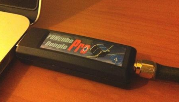
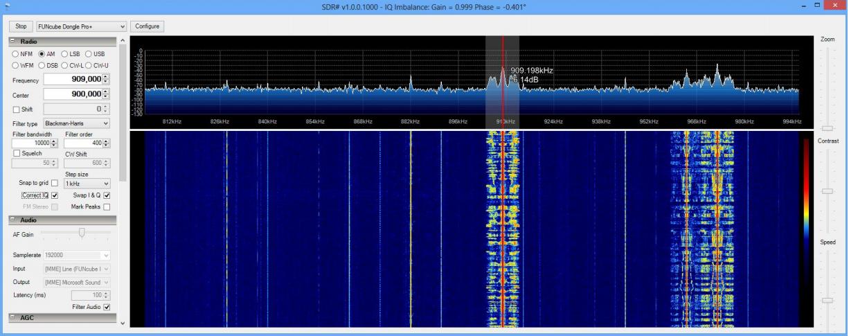
What body of regulations (if any) would apply to a cubesat with an SDR on board? shows a USB software defined radio (SDR) that is very nicely programmable. You could drive it and read it with a Raspberry Pi or some other tiny computer, and decide on the fly which bands you'd like to pick up and study, or even switch between bands every few seconds!
Here's just an example from What body of regulations (if any) would apply to a cubesat with an SDR on board?
screenshots from the Funcube Dongle Pro manual FCD2ManualV4.pdf


