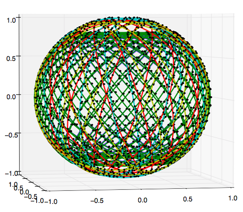
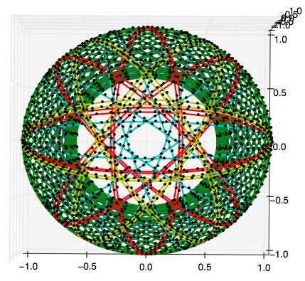
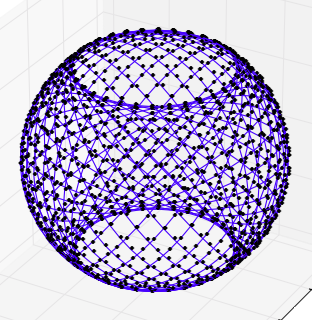
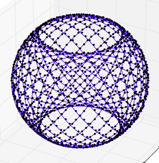
In the question SpaceX's 4,425 satellite constellation - what's the method to the madness? I took the orbital parameters in SpaceX's filing SpaceX non-Geostationary Satellite System Attachment A - Technical Information to Supplement Schedule S and made those 3D plots.
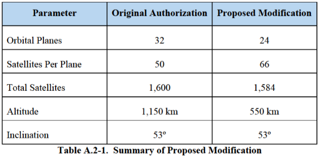
Now "Mr. 420" has gone and moved about 1,600 of those satellites down to 550 kilometers to provide some coverage with lower latency. The Space News article FCC OKs lower orbit for some Starlink satellites says:
By lowering the orbits of some satellites, SpaceX says it will need 16 fewer spacecraft overall, and that it will be able to achieve signal latencies as low as 15 milliseconds.
OneWeb and Kepler Communications, two companies also developing low Earth orbit constellations, objected to SpaceX’s modification request and asked the FCC to reject it. Both were rebuffed by the FCC.
The companies took issue mainly with SpaceX’s request to use Ku-band ground stations to connect with some of the lower orbiting satellites. Kepler and OneWeb said the SpaceX ground stations could cause interference with their satellite networks, which are also in Ku-band.
The FCC disagreed, saying that the closer orbit could instead reduce the risk of interference since the satellites won’t need as strong of signals to establish links with equipment on the ground.
In order to make a plot of the currently proposed constellation I'd like to know what the updated list of groups of planes and inclinations looks like. This video linked in GeekWire's FCC approves SpaceX’s revised Starlink satellite plan; first wave gets set for liftoff shows the different planes and inclinations briefly if you start watching at about 06:00.
Question: What does the StarLink constellation look like now? Numbers of planes and inclinations?
From SpaceX's 4,425 satellite constellation - what's the method to the madness? using data shown there from 2016.
