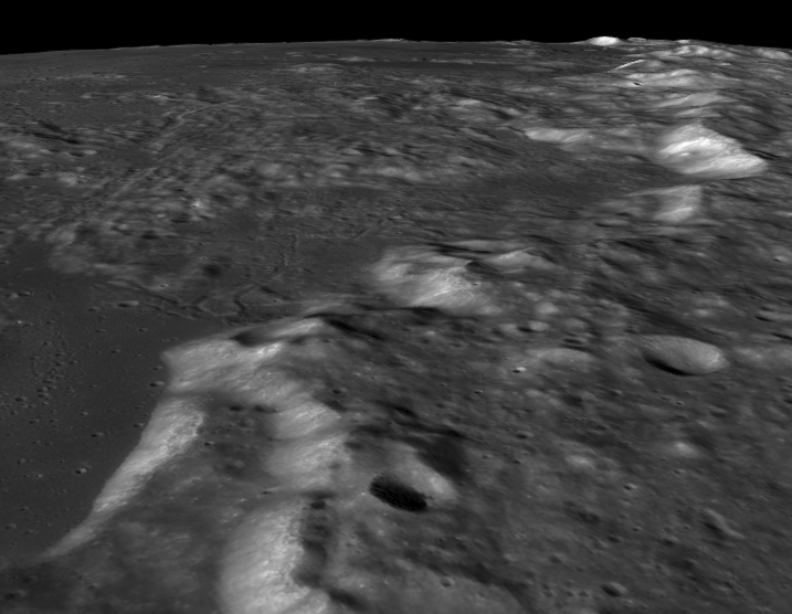
Update: The QuickMap service is back up and completely overhauled. For this particular application, there is now a complete 3d model of the Moon that you can navigate freely, and it looks just awesome. To activate that option, click on the globe icon in the top left corner, and then click 'Lunar Globe 3D' in the pop-up menu. Navigation options and instructions are in the top right corner.

There are 3 services right now that have photos by the Lunar Reconnaissance Orbiter (the LRO). It would be possible to create a descent sequence with them as long as the camera looks straight down. The best one is Quickmap, but it is currently unavailable with no ETA for its return (NOOOOO!! Why, oh why!!). When it is available, it has most of the images taken by the LRO, including the most detailed images ever taken of the Moon. You can even ask to see a feature at different times of day, and see relief maps, and thermal maps. It is a wonderful service. You can see features at a variety of zoom levels and pan around freely. But it is unavailable, which I discovered when I tried to load it to answer this question, and I am very sad.
So... there is Lunaserv. It seems to be quite slow at the moment, maybe because Quickmap recently went dark and it is overloaded. It doesn't have images that are as detailed, or under different lighting conditions, or the thermal and topographical maps, but I guess it's nice enough... (sigh...). It also allows you to pull up a list of all the LRO images taken of a particular spot. Go to the menu at left and check the NAC overlay, and then click the eye at top right, and then click where you want images from. With those, you can go browse or download the originals. They are large files. You can do the same thing at the WMS browser. If you decide to browse footprints, they will both take you to the same place, where you can zoom in on the images and pan around.
There are also the images taken from orbit by the Apollo missions. The Apollo Image Atlas has all of them.
