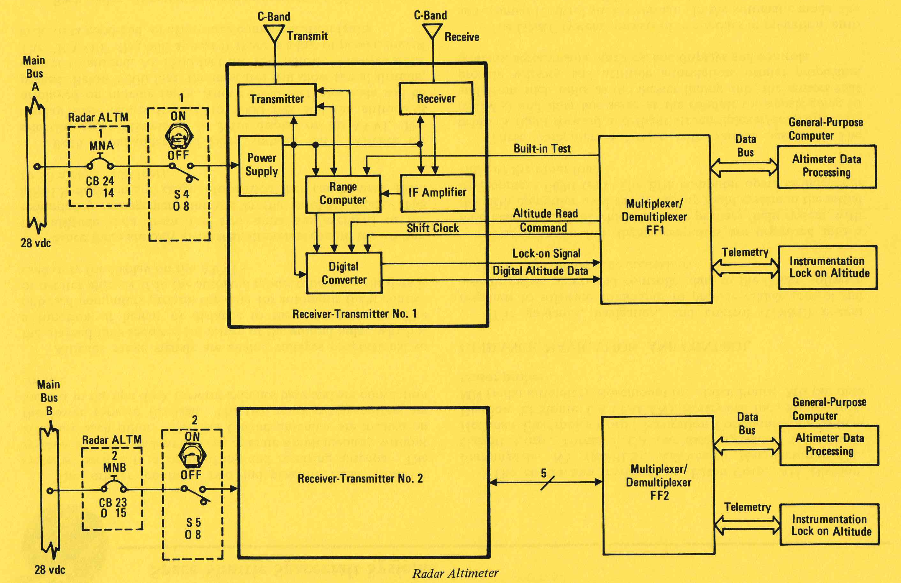
I was going through the Space Shuttle Handbook, chapter Guidance and Navigation. In one of the Note boxes, it is written
Radar altimeter altitude is not used for navigation or guidance. The information is displayed for the crew to monitor
I have multiple queries:
I understand there is GPS, TACAN and MLS. Do these systems provide better navigation solution than if used radar altimeter?
Is there provision to use radar altimeter in case other systems fail? Or maybe in case of certain abort?
If that is so, then is altimeter only used for monitoring purposes?
And suppose radar altimeter does indeed show some anomaly is there any flight rule for that? What crew can actually do?
If they can't do anything, isn't that just increasing the weight of the shuttle?
